Weather, nature & food news — from every credible source.
A living archive of environmental journalism from NASA, NOAA, WMO, FAO, IUCN, EPA, FDA, USDA, WHO, Mongabay, AccuWeather and topic-filtered Google News queries — one canonical record per event, links back to every original publisher.
 Illustrated External
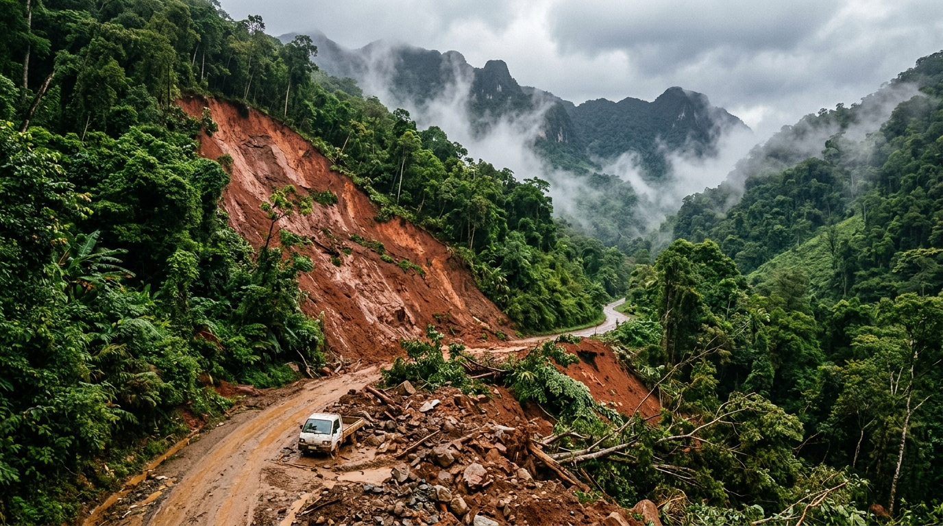
Chile’s El Teniente mine partially suspends operations after fatal landslide By Reuters - Investing.com
According to reports from Reuters via Investing.com, operations at the El Teniente mine in Chile have been partially halted following a fatal landslide. The facility, which is a major underground copper mining complex, suspended specific activities as a safety precaution after the event resulted in a loss of life. While the initial reporting focuses on the industrial impact and the tragic outcome for personnel, such incidents highlight the inherent risks associated with large-scale geological and excavation projects in mountainous regions. Monitoring local terrain stability remains a critical concern for both industrial operators and nearby communities. These events often necessitate immediate assessments of ground integrity to prevent further accidents. The suspension reflects standard safety protocols following significant soil or rock movement within mining infrastructure. Why this matters: Citizen observations of local terrain changes and slope instability can provide early warning signs of potential landslides, helping to mitigate risks to both industrial sites and residential areas.
 Illustrated External
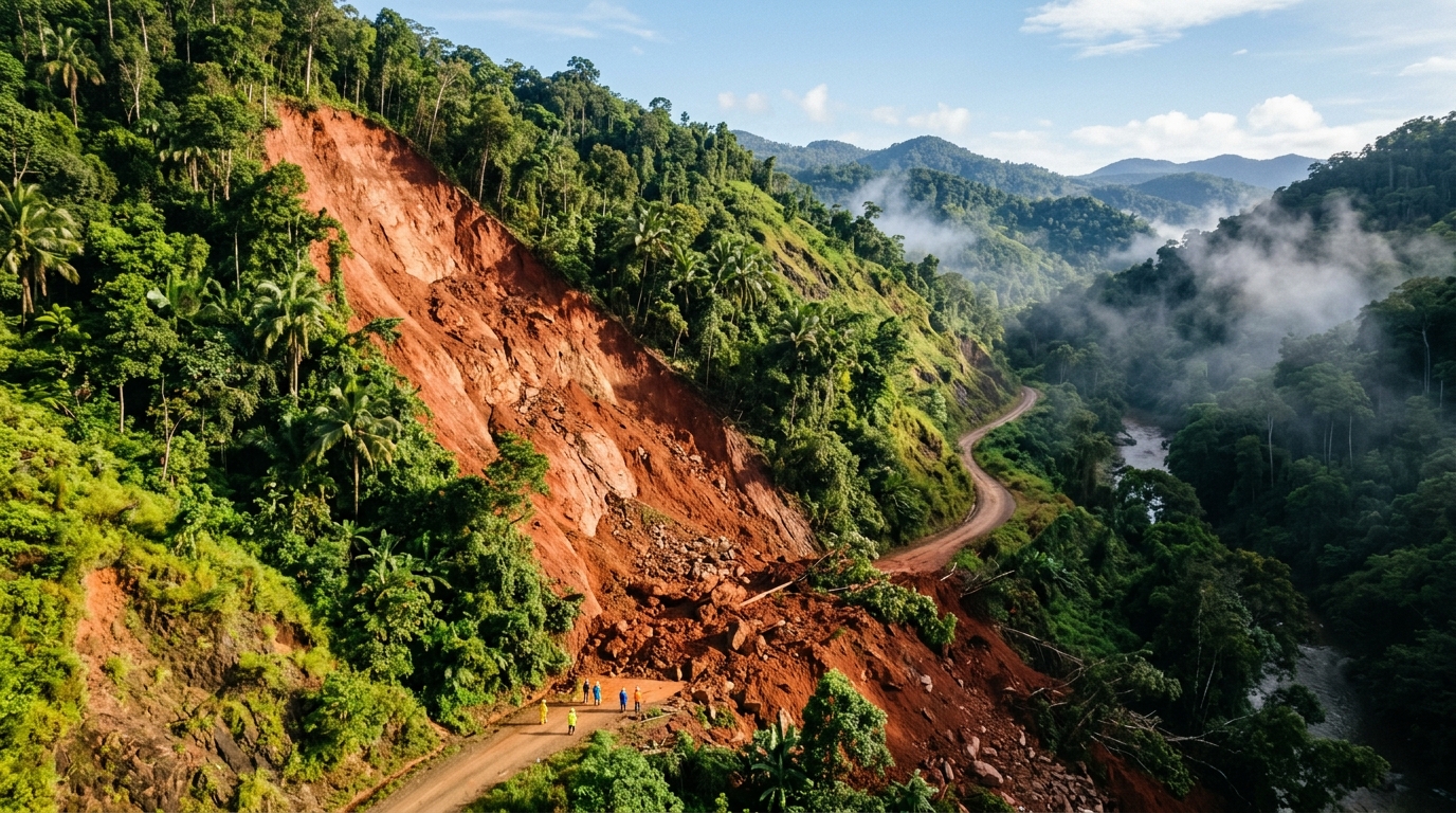
Nepal orders evacuations after landslide triggers Budhi Gandaki flash flood - Africanews English
Authorities in Nepal have issued mandatory evacuation orders for residents living near the Budhi Gandaki river following a significant geological event. According to reporting from Africanews, a large landslide obstructed the river's flow, subsequently triggering a flash flood that threatens downstream communities. This natural disaster highlights the ongoing vulnerability of Himalayan regions to sudden terrain shifts and hydrological surges. Local officials are working to move citizens to safer ground as the situation develops and the risk of further flooding remains high. The interaction between steep topography and potential rainfall often results in these types of cascading hazards in the region. Emergency services are monitoring the stability of the river banks and the potential for additional debris flows to ensure public safety. While the full extent of the damage is still being assessed, the immediate priority remains the relocation of vulnerable populations away from the rising waters.
 Illustrated External
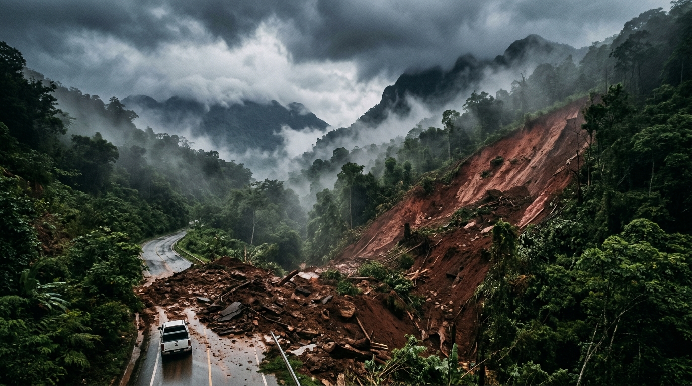
Video. Nepal orders evacuations after landslide triggers Budhi Gandaki flash flood - Euronews.com
Authorities in Nepal have initiated emergency evacuation procedures for residents living near the Budhi Gandaki river, according to reports from Euronews. The government intervention follows a significant landslide that blocked the river's flow, subsequently triggering a flash flood event downstream. This geological disturbance in the mountainous terrain has created immediate risks for riverside communities, necessitating swift action to ensure public safety. Local officials are monitoring the situation closely as the sudden influx of water and debris poses a threat to infrastructure and homes along the riverbanks. The incident highlights the precarious nature of river systems in the Himalayas, where seasonal weather patterns and terrain instability often lead to cascading natural disasters. Residents have been advised to move to higher ground until the threat level decreases and the water flow stabilizes. Why this matters: This event underscores the importance of citizen reports on localized terrain changes and river levels, which provide crucial early warnings before catastrophic floods occur.
Illustrated ExternalWatch: Sudden mudslide sweeps vehicles through streets of Santiago - The Weather Channel
The Weather Channel reports on a sudden mudslide that struck the city of Santiago, resulting in vehicles being swept through urban streets. Video footage of the incident illustrates the speed and force of the debris flow as it navigated through residential or commercial thoroughfares. Such geological events often occur without significant warning, creating immediate hazards for motorists and pedestrians in the path of the moving earth. While the report focuses on the visual impact of the event, these occurrences typically necessitate emergency response efforts to clear transit routes and ensure the safety of the local population. The movement of mud and water through city infrastructure highlights the intersection of natural geological processes and urban development. Why this matters: Public observations of changing terrain and local weather patterns are vital for identifying high-risk areas prone to sudden landslides in densely populated regions.
 Illustrated External
DW News. . A landslide has triggered flash flooding in central Nepal. A major river has flooded in a valley and swept away homes and buildings. Dozens of people have been rescued, but several are still missing. #dwnews #nepal #flooding - Facebook
DW News reports that a significant landslide in central Nepal has triggered severe flash flooding within a major river valley. The sudden influx of debris and water caused extensive damage, sweeping away multiple homes and buildings in the affected area. Local emergency teams have successfully rescued dozens of residents, though several individuals remain missing as recovery operations continue. The disaster demonstrates the volatile nature of the region's geography, where unstable slopes can lead to cascading hazards for valley settlements. This event underscores the ongoing risk posed by soil instability to infrastructure and human life in mountainous terrain. Why this matters: Community-sourced observations of shifting soil and rising river levels are essential for identifying imminent landslide risks and protecting vulnerable downstream populations.
Illustrated ExternalNepal urges villagers to evacuate after flood triggered by landslide - New York Post
Authorities in Nepal have issued urgent evacuation orders for residents in vulnerable villages following a flood event initiated by a landslide. As reported by the New York Post, the landslide disrupted natural water flow, creating a hazardous situation for communities situated downstream. This type of incident often involves the formation of a temporary debris dam which, upon breaching, releases significant volumes of water and sediment. Local officials are monitoring the site to manage the risk of sudden inundation. Such events are frequent in the mountainous terrain of the Himalayas, where steep slopes are susceptible to movement that can subsequently trigger secondary hydrological disasters. Residents are being directed to safer ground as emergency services assess the stability of the affected area. Monitoring these changes in the landscape is vital for providing early warnings to those living in the path of potential debris flows. Why this matters: Local observations of changing water levels and ground shifts are critical for identifying early warning signs of landslide-induced flooding before large-scale disasters occur.
Illustrated ExternalNepal urges villagers to evacuate after flood triggered by landslide - Reuters
Nepal has issued urgent evacuation orders for residents in several villages following a flood event triggered by a significant landslide. According to Reuters, local authorities are monitoring the situation closely as the landslide-induced surge threatens communities downstream. This type of disaster is a recurring challenge in the region’s steep Himalayan terrain, where seasonal environmental factors often destabilize slopes and disrupt natural water systems. The government's immediate response focuses on moving vulnerable populations to higher ground to prevent casualties. While the full extent of the damage is still being assessed, the event underscores the precarious nature of rural infrastructure in areas prone to geohazards. This incident highlights the critical role of emergency management and rapid communication in mitigating the impact of sudden geological shifts. Why this matters: Community-led monitoring of local terrain and water levels can provide essential early warnings to help neighbors escape before official evacuation orders arrive.
Illustrated ExternalOfficials report second landslide in McDowell County - FOX Carolina News
According to FOX Carolina News, officials have confirmed a second landslide in McDowell County. This subsequent geological event follows a previous report of ground instability in the same region, suggesting that local soil conditions remain precarious. While the initial report does not detail specific casualties or the extent of property damage, the occurrence of two landslides in quick succession indicates a high level of saturation or structural weakness in the terrain. Local emergency management teams are currently monitoring the area to assess the risk of further slope failures. These incidents often follow periods of intense precipitation which can trigger movement in hilly or mountainous landscapes. Authorities are working to ensure public safety as they evaluate the impact on local infrastructure and determine if further evacuations or road closures are necessary to protect residents from ongoing geological hazards.
Illustrated ExternalDeadly Nepal flood caused by enormous landslide, glacier tumble: Scientist - ABC7 Bay Area
According to ABC7 Bay Area, a devastating flood in Nepal was triggered by a massive landslide and the collapse of glacial material. Scientific experts have identified that a significant volume of ice and earth tumbled into the landscape, causing a surge of water and debris to flow downstream. This geological event underscores the ongoing risks associated with high-altitude environments where terrain instability can lead to sudden and lethal disasters. The report suggests that the interplay between shifting glaciers and mountainous slopes created the conditions for this specific catastrophe. While the exact details of the damage are being assessed, the incident highlights the destructive power of mass movement in the Himalayan region. Researchers are focusing on the site to better understand how these enormous landslides occur and the factors that contribute to glacial instability in rapidly changing mountain climates. Why this matters: Tracking changes in mountain terrain and glacial health through citizen reports can help identify early signs of instability before catastrophic landslides occur.
Illustrated ExternalDeadly Nepal flood caused by enormous landslide, glacier tumble: Scientist - ABC7 Bay Area
According to reports from ABC7 Bay Area, researchers have identified the cause of a recent fatal flooding event in Nepal as a combination of a massive landslide and a large-scale glacial collapse. Scientists found that a significant portion of mountain terrain gave way, sending debris into water bodies and triggering a downstream surge. This type of high-altitude geological failure is increasingly observed in the Himalayan region as environmental conditions shift. The event highlights the complex relationship between melting ice and slope stability in rugged terrain. By analyzing the mechanics of this disaster, experts hope to improve early warning capabilities for remote communities vulnerable to sudden inundations caused by terrain shifts and melting ice. These findings emphasize the sensitivity of mountain ecosystems to rapid physical changes.
Illustrated ExternalZion-Mt. Carmel Highway reopens sooner than expected after rockfall - TownLift Park City
The Zion-Mt. Carmel Highway has reopened to traffic earlier than anticipated following a rockfall event that necessitated a temporary closure. According to TownLift Park City, maintenance teams worked to clear debris and assess the safety of the route, which is a vital transit corridor through Zion National Park. Such geological events are common in the region due to the steep, erosive nature of the sandstone cliffs bordering the roadway. The prompt response by park officials allowed for the restoration of access ahead of schedule, reducing the impact on visitors and local transportation. Authorities monitored the site to ensure no further instability posed a threat to motorists. This incident serves as a reminder of the continuous geological activity within the park's rugged terrain. Why this matters: Citizen reports of minor rock movements or new cracks in slopes can help park rangers identify potential hazard zones before major rockfalls occur.
Illustrated ExternalChile declares Las Condes disaster zone after mudslide - Al Jazeera
According to Al Jazeera, the Chilean government has officially designated the district of Las Condes as a disaster zone following a significant mudslide. This administrative move allows for the expedited mobilization of state resources, emergency funding, and personnel to manage recovery efforts in the affected area. While specific details regarding the volume of debris or the exact number of residents impacted were not immediately provided, the declaration of a disaster zone indicates a high level of severity and a need for immediate intervention. Las Condes, situated near the foothills of the Andes in the Santiago Metropolitan Region, remains vulnerable to mass wasting events particularly after heavy rainfall or seismic activity. Local authorities are currently prioritizing public safety and the restoration of essential services as they assess the total damage caused by the moving earth. This event reflects the ongoing challenges of urban management in geologically active regions.
Illustrated ExternalMudslide carries away cars, bus in Chile’s capital - SMH.com.au
In Chile’s capital, Santiago, a powerful mudslide has resulted in significant damage and disruption. According to reporting from the Sydney Morning Herald, the landslide was forceful enough to carry away multiple vehicles, including a bus, as it moved through the area. These types of geological events are frequently triggered by heavy rainfall or unstable soil conditions in mountainous regions. Emergency responders are typically tasked with managing the aftermath of such debris flows, which can block vital transportation routes and endanger commuters. The incident underscores the vulnerability of urban infrastructure to sudden earth movements in high-relief terrain. Why this matters: Ground-level reports of heavy rain, blocked culverts, or minor soil shifts from citizen observers can provide critical data for predicting larger landslide events in metropolitan regions.
Illustrated ExternalMitchell Hill Road reopens in Fairdale after landslide repairs - WLKY
Mitchell Hill Road in Fairdale has officially reopened to traffic following the completion of repair work necessitated by a previous landslide. According to WLKY, the road had been closed to allow engineering crews to stabilize the terrain and restore the integrity of the thoroughfare. Such repairs are critical in areas where soil saturation or geological conditions lead to slope failure, posing risks to commuters and local infrastructure. The project aimed to address the immediate damage while implementing measures to reduce the likelihood of future ground movement in the vicinity. By restoring access, local authorities have resolved a significant transit disruption for the surrounding community. This reopening marks the end of a period of detours and safety assessments that followed the initial environmental event. Maintenance of such roads requires ongoing observation of weather patterns and ground conditions to ensure continued safety for the traveling public.
Illustrated ExternalRancho Palos Verdes City Council candidates discuss landslide and other issues at forum - Daily Breeze
Candidates for the City Council in Rancho Palos Verdes recently gathered for a public forum to address the significant landslide issues currently affecting the area. According to the Daily Breeze, the event provided a platform for candidates to outline their strategies for managing geological instability and other pressing municipal concerns. With the local landscape undergoing physical changes, the discussion focused on the role of government in ensuring public safety and maintaining infrastructure. Candidates explored various perspectives on policy and long-term planning, reflecting the high stakes for a community situated on unstable terrain. The forum underscored how environmental hazards can become central themes in local elections, requiring candidates to present clear plans for mitigation and response. Why this matters: Citizen observations of ground shifts and structural changes are essential for helping local authorities track landslide progression and implement timely safety measures.
Illustrated ExternalMudslide sweeps away vehicles, bus in Chile's capital - upi
According to reports from UPI, a powerful mudslide has struck Santiago, Chile, leading to significant impact within the capital city. The sudden movement of earth and debris was forceful enough to displace multiple vehicles, including a passenger bus, from the roadway. Such geological events are often triggered by intense precipitation or seismic instability in the Andean foothills surrounding the metropolitan area. While the initial report focuses on the physical destruction of transport infrastructure, emergency response teams in the region typically prioritize the assessment of potential injuries and the clearing of blocked transit routes. This incident serves as a reminder of the persistent threat posed by landslides in densely populated mountainous corridors. Citizen reports of ground instability and shifting soil can provide critical data for urban planners to identify landslide-prone areas before catastrophic events occur.
Illustrated ExternalZion Highway Reopens After Rockfall - Mid-Utah Radio
Zion Highway in Utah has officially reopened to traffic following a temporary closure caused by a rockfall, according to Mid-Utah Radio. The geological event necessitated an immediate halt to vehicular movement while maintenance crews assessed the stability of the surrounding canyon walls and cleared debris from the roadway. Such rockfalls are common occurrences in the steep, sandstone-dominated landscape of Zion National Park, frequently influenced by thermal expansion, moisture, or natural erosion processes. The restoration of the highway ensures that a primary access point to the park is once again functional for both visitors and local residents. While the report indicates that the path is now clear, officials typically monitor these areas for subsequent movement after initial falls. This incident serves as a reminder of the ongoing environmental changes and geological shifts that characterize the rugged terrain of Southern Utah. By reopening the route promptly, authorities have minimized disruption to regional transportation networks and park operations.
Illustrated ExternalToday in History: October 9, northern Italy dam landslide triggers mega-tsunami - Orlando Sentinel
The Orlando Sentinel revisits a catastrophic geological event from October 9, 1963, in northern Italy. On this date, a massive landslide occurred on Mount Toc, sending approximately 260 million cubic meters of rock and debris into the reservoir behind the Vajont Dam. This displacement generated a massive wave, often described as a mega-tsunami, which overtopped the dam structure. Although the dam itself remained largely intact, the water surged into the Piave Valley below, destroying several villages and the town of Longarone. The disaster resulted in the deaths of nearly 2,000 people. Reports indicate that signs of instability in the mountainside had been observed prior to the collapse, but the scale of the resulting wave was significantly underestimated. This event remains one of the deadliest industrial and environmental disasters in European history, highlighting the risks associated with large-scale engineering projects in geologically unstable regions. Why this matters: Understanding historical geological failures helps citizen observers identify early warning signs of ground instability and emphasizes the importance of monitoring local topography near infrastructure.
Illustrated ExternalZion National Park reopening roadway after rockfall clean up - Gephardt Daily
Zion National Park has initiated the reopening of a primary roadway following a rockfall event that necessitated a temporary closure. According to reports from Gephardt Daily, maintenance crews successfully cleared debris from the affected route to restore safe passage for visitors and staff. Such geological incidents are a recurring feature of the park's sandstone landscape, where erosion and weather patterns can trigger sudden shifts in the canyon walls. Officials conducted safety assessments of the surrounding slopes during the cleanup process to ensure no immediate secondary hazards remained. The restoration of access allows for normal traffic flow and resumed entry to popular locations within the park. This response underscores the ongoing management required to maintain infrastructure within dynamic wilderness environments. While the road is now accessible, park management continues to monitor geological conditions in high-risk zones.
Illustrated ExternalZion-Mt. Carmel Highway to reopen after major rockfall - KJZZ
The Zion-Mt. Carmel Highway is set to reopen after a major rockfall led to its temporary closure within Zion National Park. According to KJZZ, the incident necessitated an immediate halt to traffic to allow maintenance teams to clear large debris and evaluate the stability of the overhead sandstone cliffs. These geological events are common in the park's steep canyon terrain, often triggered by natural erosion or changes in moisture levels. Park management prioritizes safety by conducting thorough inspections before allowing vehicles to return to the transit route between the east and south entrances. The reopening signifies that the immediate risk has been mitigated, though officials continue to monitor the area for further activity. Such events underscore the unpredictable nature of cliffside infrastructure in mountainous regions. Visitors are encouraged to remain aware of changing conditions when traveling through areas prone to rock movement. Why this matters: Citizen reports of falling debris or shifting soil help park rangers identify emerging hazards that may lead to larger rockfalls, protecting both visitors and infrastructure.
Illustrated ExternalZion National Park highway reopening after major rockfall closes route for 9 days - KLAS 8 News Now
Zion National Park has reopened the Zion-Mount Carmel Highway following a significant rockfall event that obstructed the route for nine days, according to KLAS 8 News Now. The closure affected the primary thoroughfare connecting the park’s south and east entrances, requiring travelers to utilize lengthy detours during the cleanup period. National Park Service crews worked to clear large boulders and debris from the pavement while assessing the stability of the adjacent canyon walls to prevent further hazards. While the road is now clear for traffic, officials maintain vigilance regarding the geological stability of the area. This event underscores the ongoing natural erosion processes that define the park's landscape, particularly along steep sandstone cliffs where temperature fluctuations and moisture can trigger sudden rock movement. Travelers are advised to check current conditions as environmental factors frequently influence accessibility in this rugged terrain.
Illustrated ExternalZion-Mt. Carmel Highway to reopen after major rockfall - KUTV
According to KUTV, the Zion-Mt. Carmel Highway in Utah is scheduled to reopen following a significant rockfall that necessitated a temporary closure of the route. This specific corridor serves as a critical link within Zion National Park, connecting the eastern entrance to the main canyon area. Geological events of this nature are a recurring phenomenon in the region, often triggered by the erosion and destabilization of the park's sheer sandstone cliffs. Before restoring access, park officials and maintenance crews typically perform extensive debris removal and safety inspections to ensure the stability of the surrounding slopes. The reopening restores standard traffic flow for visitors and staff, though authorities often remind travelers to remain alert for smaller debris that may still impact the roadway. Such events underscore the ongoing challenges of maintaining infrastructure within high-relief natural landscapes. This event highlights how citizen reports of geological shifts and road hazards can provide essential early warnings for park authorities managing public safety in fragile terrain.
Illustrated ExternalZion National Park to reopen Zion-Mt. Carmel Highway after rockfall closure - KSNV
According to KSNV, officials at Zion National Park are preparing to reopen the Zion-Mt. Carmel Highway following a temporary closure caused by a rockfall. The road is a critical artery for visitors traveling through the park, and rockfall events in this region of Utah are relatively common due to the steep sandstone cliffs and seasonal weathering patterns. Park crews worked to clear the debris and evaluate the stability of the surrounding slopes before declaring the route safe for vehicular traffic. These incidents highlight the ongoing geological activity within the park's rugged terrain. Zion National Park staff often monitor these areas for signs of instability to ensure visitor safety. While the highway is set to return to normal operations, park authorities typically advise travelers to remain alert for changing conditions when driving through narrow canyon corridors. Citizens reporting minor rock movements or road debris can provide park rangers with early warnings of potential slope failures, helping maintain safe access to public lands.
Illustrated ExternalZion-Mt. Carmel Highway to reopen after large rockfall - ABC4 Utah
The Zion-Mt. Carmel Highway in Utah is scheduled to reopen following a significant rockfall event that previously blocked passage. According to ABC4 Utah, the large debris fall necessitated a temporary closure of this critical roadway, which serves as a primary access point within Zion National Park. Park officials and maintenance crews worked to clear the boulders and assess the structural integrity of the surrounding cliffs to ensure visitor safety. Rockfalls are a frequent geological occurrence in this region due to the steep sandstone cliffs and varying weather patterns that contribute to erosion and instability. The reopening allows for the resumption of normal traffic flow and visitor access to popular areas of the park. This incident highlights the ongoing geological activity within the national park system and the challenges of maintaining infrastructure in rugged natural environments. Monitoring rockfall activity helps scientists and local observers understand the ongoing geological transformation of the landscape and its impact on public safety.